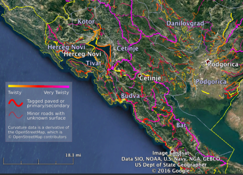
To assist new users, KML files will now include a legend indicating how to interpret the color scale and different line-weight given to roads:

KML files now include a legend screen-overlay.
The legend will be added to KML files as they get regenerated over the next few weeks from the date of this post.
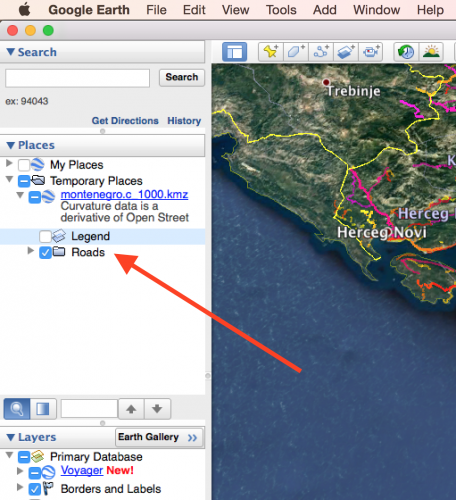
This legend “overlay” can be disabled by expanding the curvature file in Google Earth and unchecking the box next to the “Legend”:

Uncheck the legend to hide it.

